Transit information
Hotel information
Flight information
App
English
日本語
English
中文 繁體
中文 简体
한국어
ไทย
Bahasa Melayu
Bahasa Indonesia
Tiếng Việt
Wikang Tagalog
Français
Deutsch
Español
Italiano
Suomalainen
Norsk
Svenska
Nederlands
NAVITIME Transit
India Journey Planner / Transit Map
India Hotel List
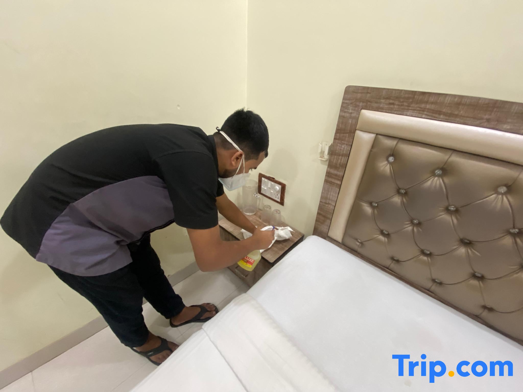
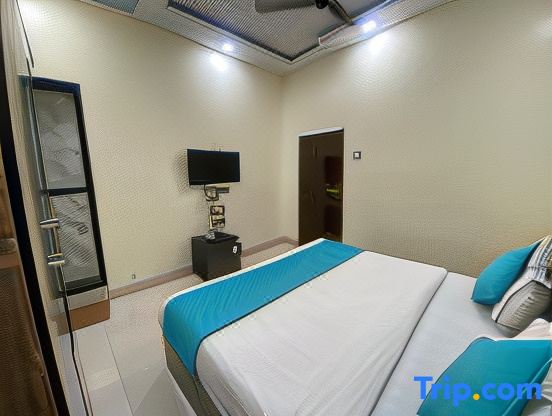
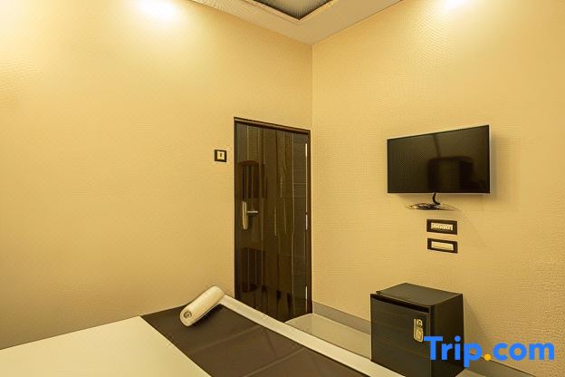
Hotel Apsara - Near J J Hospital Book / Directions
Hotel Apsara - Near J J Hospital
Hotel Apsara - Near J J Hospital Book / Directions
Address
Carmellos House, Floor no. 2 and 3 plot 414/418 ,Maharashtra
Nearest stations
About 15 minutes from सँडहर्स्ट रोड on foot
Reserve
Transit information
Please enter a station name
Please enter a station name
Search
Directions from Andheri (Metro) to Sandhurst Road
Directions from Mumbai CSMT to Sandhurst Road
Directions from Masjid to Sandhurst Road
Directions from Reay Road to Sandhurst Road
See more
Nearest stations
1
Sandhurst Road
सँडहर्स्ट रोड
1,163m
2
Masjid
मस्जिद
1,246m
3
Charni Road
चर्नी रोड
1,410m
4
Grant Road(Charni RD)
ग्रांट रोड
1,478m
5
(CLOSED)Mumbai Central (BCT)
मुम्बई सेन्ट्रल
1,555m
6
Mumbai Central
मुम्बई सेन्ट्रल
1,640m
Nearest hotels
Hotel Apsara - Near J J Hospital
Carmellos House, Floor no. 2 and 3 plot 414/418 ,Maharashtra
0m
Super Hotel O Indore
Indorewala Building, Khandia St, Navjeevan Society, Two Tank,Grant Road Maharashtra
★★★☆☆
334m
Hotel Ruby
MS Ali Road,Near Akbarpeer Bhoy College ,Maharashtra
340m
FabHotel Indore Palace
Khandia Street, MS Ali Road, next to Cafe Paradise, Dotaki, Mumbai - 400008 Maharashtra
★★★☆☆
353m
Amber Palace - Nr. Fort & CSMT Station
253-255 DUNCAN ROAD BESIDE UNION BANK (DUNCAN ROAD)NEAR TWO TANK POLICE STATION Maharashtra
★★★☆☆
396m
HOTEL AMBER PALACE
253-255, Duncan Rd, Kamathipura Maharashtra
★★★☆☆
399m
Hotel Bombay International
Hotel Bombay International Kedy Compound
★★☆☆☆
580m
Hotel New Deepak
Opp-St.Joseph's School,N.H.road No.5,Dongri,Near Sandhurst Road Railway Station Maharashtra
★★☆☆☆
672m
FabExpress New Deepak - Nr. Fort & CSMT Station
Plot No. 86, Opposite Street Joseph's School, National Highway Road No.5 Sand Hurst Road, Mumbai - 400009 Maharashtra
★★★☆☆
692m
NAVITIME Transit
Asia
United Arab Emirates
Armenia
Azerbaijan
Bangladesh
China
Georgia
Hong Kong
Indonesia
Israel
India
Iran
Japan
Cambodia
Korea
Kazakhstan
Laos
Sri Lanka
Myanmar
Mongolia
Macau SAR
Malaysia
Philippines
Pakistan
Qatar
Saudi Arabia
Singapore
Thailand
Turkmenistan
Turkey
Taiwan
Viet Nam
Uzbekistan
North Korea
Europe
Republic of Albania
Austria
Bosnia and Herzegovina
Belgium
Bulgaria
Switzerland
Czech Republic
Germany
Denmark
Estonia
Spain
Finland
France
United Kingdom
Bailiwick of Guernsey
Greece
Hungary
Croatia
Ireland
Isle of Man
Italy
Lithuania
Luxembourg
Latvia
Moldova
Montenegro
North Macedonia
Netherlands
Norway
Poland
Portugal
Romania
Serbia
Sweden
Slovenia
Slovakia
Belarus
Ukraine
Russia
North America
Canada
Mexico
Panama
United States
Hawaii
South America
Argentina
Bolivia
Chile
Colombia
Puerto Rico
Ecuador
Dominican Republic
Brazil
Venezuela
Peru
Oceania
Australia
Guam
Africa
Algeria
Egypt
Mauritius
Nigeria
All in one map App
Rail map of the world with one application.
Select the country and download the rail map you want to use. The corresponding area is being expanded.
Tap Transit map
Route search by tapping rail map.
The operation is very easy. Just enter the departure and arrival by touching the rail map.
Offline
Can also be used offline.
It is safe even in areas with poor communication environment. Rail map and route search is possible even offline.
Map and Streetview
Station neighborhood maps give you peace of mind
The street view feature showing the area surrounding stations also allows the user to correctly confirm the location of each station.
DOWNLOAD THE APP
We use cookies on this site to enhance your user experience.
Privacy Policy
Accept


