Transit information
Hotel information
Flight information
App
English
日本語
English
中文 繁體
中文 简体
한국어
ไทย
Bahasa Melayu
Bahasa Indonesia
Tiếng Việt
Wikang Tagalog
Français
Deutsch
Español
Italiano
Suomalainen
Norsk
Svenska
Nederlands
NAVITIME Transit
China Journey Planner / Transit Map
China Hotel List
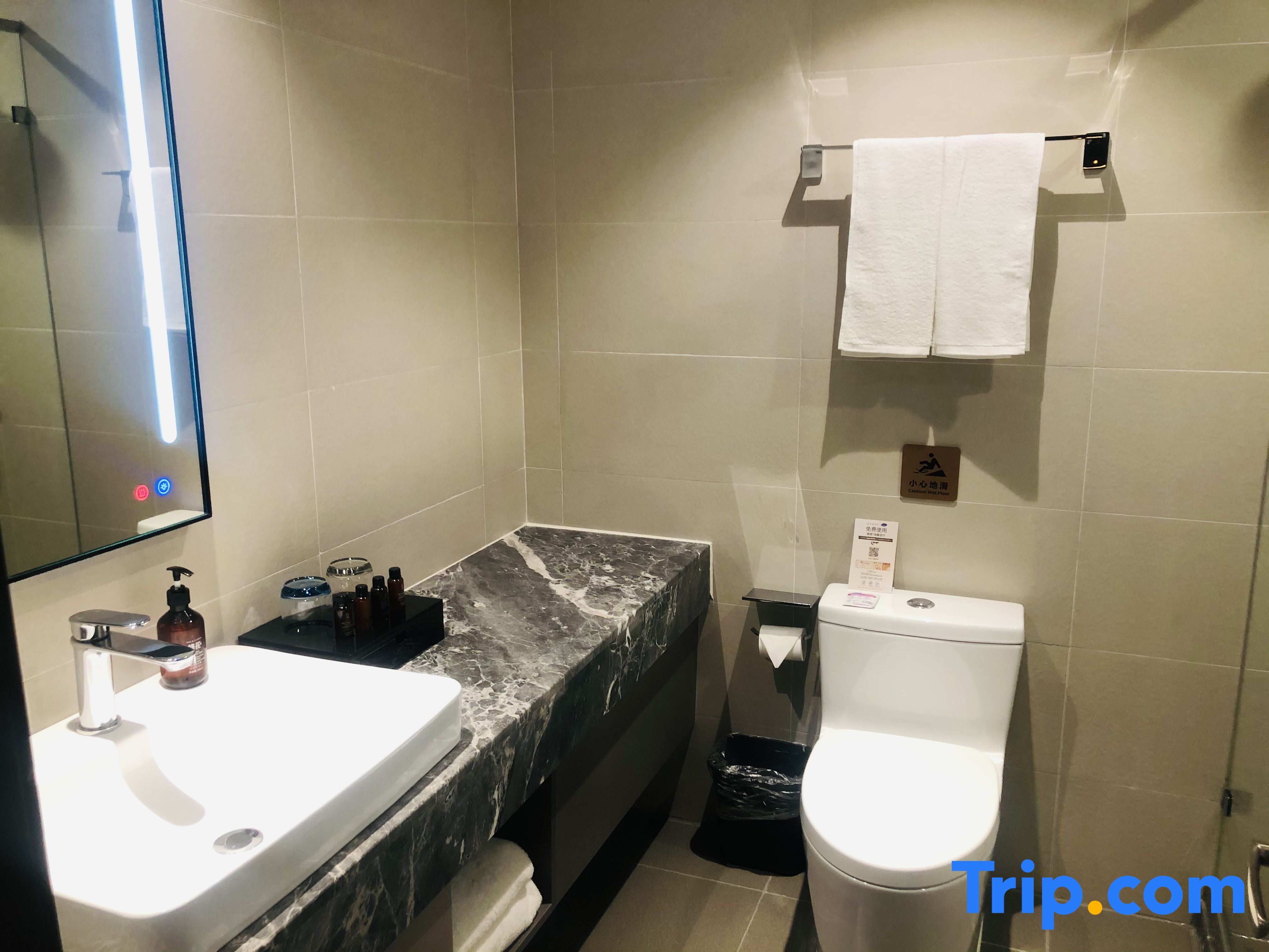
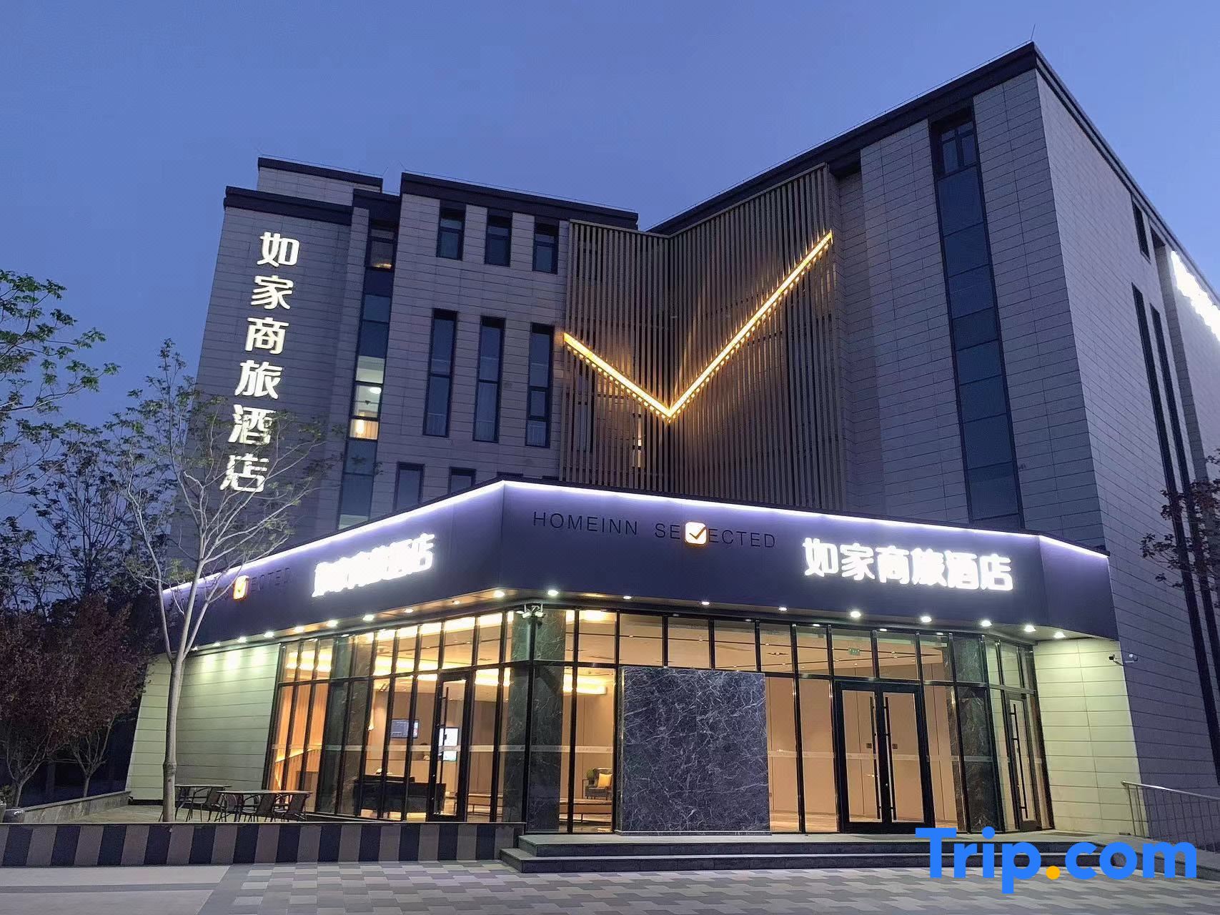
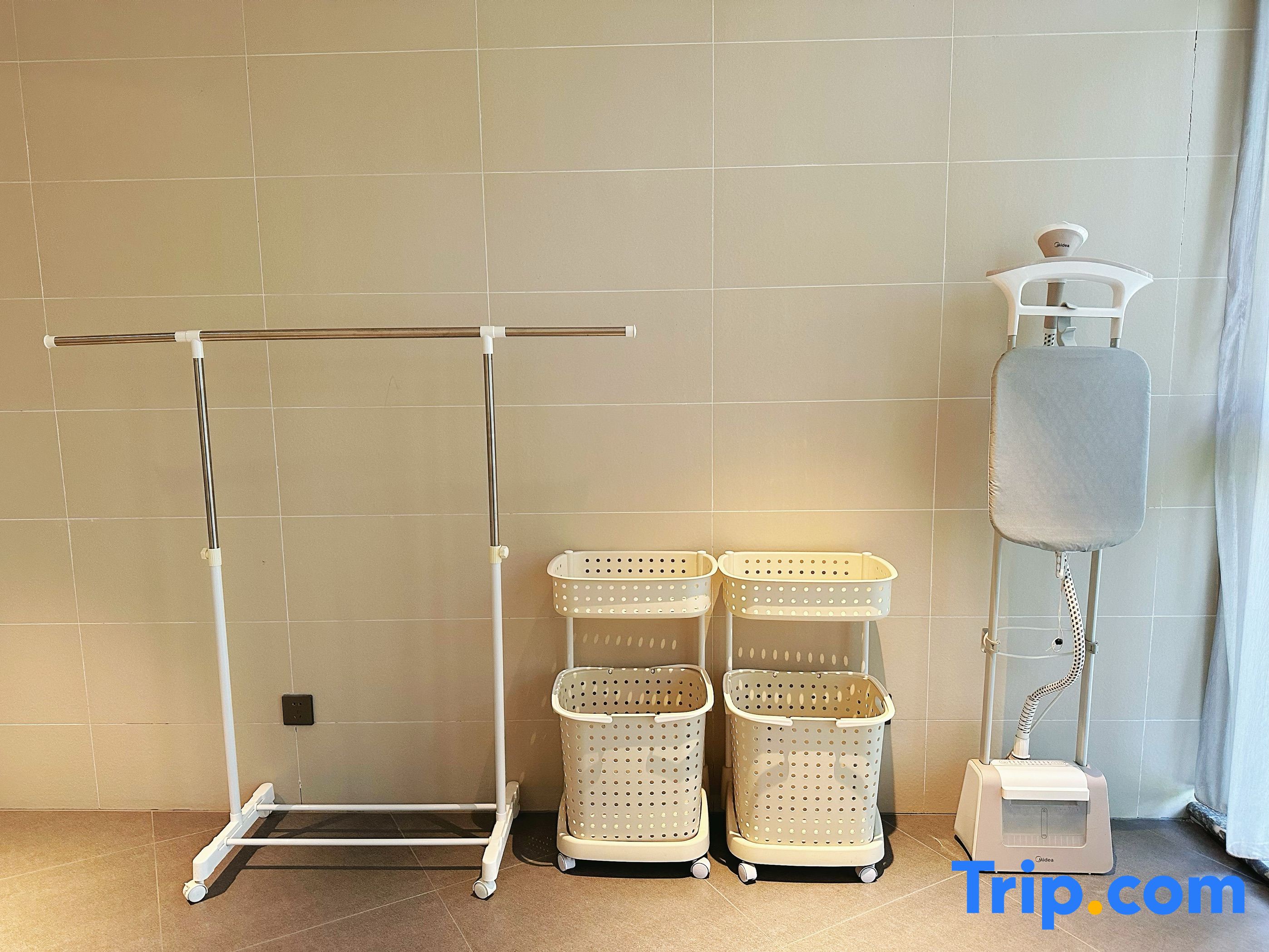
Home Inn (Tianjin hi tech Zone Huayuan Industrial Park Store) Book / Directions
Home Inn (Tianjin hi tech Zone Huayuan Industrial Park Store)
Home Inn (Tianjin hi tech Zone Huayuan Industrial Park Store) Book / Directions
Address
No. 42, SOHO Haitai Avenue, Haitai Software Park, Huayuan Industrial Park ,Tianjin
Nearest stations
About 34 minutes from 学府工业区 on foot
Reserve
Transit information
Please enter a station name
Please enter a station name
Search
Directions from Anshandao to Xuefugongyequ
See more
Nearest stations
1
Xuefugongyequ
学府工业区
2,684m
2
Yangwuzhuang
杨伍庄
3,142m
3
Gaoxinqu
高新区
3,257m
4
Daxuecheng
大学城
3,998m
5
Nanzhan
南站
4,497m
6
Huayuan
华苑
4,553m
Nearest hotels
Home Inn (Tianjin hi tech Zone Huayuan Industrial Park Store)
No. 42, SOHO Haitai Avenue, Haitai Software Park, Huayuan Industrial Park ,Tianjin
0m
Atour Hotel Tianjin Tiankai Huayuan Industrial Park
No.11 Huake Street
★★★★☆
557m
City 118·Select Hotel (Tianjin Zhongbei Haitai Industrial Park)
No.5 Jinyue New City Linjie Di Shang ,Tianjin
917m
City 118 Selected Hotel Tianjin Zhongbei Haitai Industrial Park
No.5 Dishang, Jinyuexincheng, Zhongbei Town Tianjin
★★★☆☆
976m
James Joyce Coffetel (Tianjin City Construction University Huading Zhidi Park)
No.1 Huake 3rd Road
1,085m
HanTing Hotel (Tianjin Zhongbei Haitai South and North Avenue)
Ground floor, building 4, Xinxing Park, Bixiang Road, Zhongbei town
★★☆☆☆
1,431m
Hanting Hotel(Tianjinzhongbeihaitainanbeidajie store)
Ground floor, building 4, Xinxing Park, Bixiang Road, Zhongbei town ,Tianjin
1,432m
Hanting Hotel Tianjin Zhongbei Haitai Nanbei Street
Intersection of Xinjin Highway and Haitai Northsouth Street Tianjin
★★☆☆☆
1,471m
Atour Hotel Tianjin Zhongbei Haitai Industrial Park
150 Meters West to the Intersection of Xinkedao and Xinjin Second Branch Road Tianjin
★★★★☆
1,688m
NAVITIME Transit
Asia
United Arab Emirates
Armenia
Azerbaijan
Bangladesh
China
Georgia
Hong Kong
Indonesia
Israel
India
Iran
Japan
Cambodia
Korea
Kazakhstan
Laos
Sri Lanka
Myanmar
Mongolia
Macau SAR
Malaysia
Philippines
Pakistan
Qatar
Saudi Arabia
Singapore
Thailand
Turkmenistan
Turkey
Taiwan
Viet Nam
Uzbekistan
North Korea
Europe
Republic of Albania
Austria
Bosnia and Herzegovina
Belgium
Bulgaria
Switzerland
Czech Republic
Germany
Denmark
Estonia
Spain
Finland
France
United Kingdom
Bailiwick of Guernsey
Greece
Hungary
Croatia
Ireland
Isle of Man
Italy
Lithuania
Luxembourg
Latvia
Moldova
Montenegro
North Macedonia
Netherlands
Norway
Poland
Portugal
Romania
Serbia
Sweden
Slovenia
Slovakia
Belarus
Ukraine
Russia
North America
Canada
Mexico
Panama
United States
Hawaii
South America
Argentina
Bolivia
Chile
Colombia
Puerto Rico
Ecuador
Dominican Republic
Brazil
Venezuela
Peru
Oceania
Australia
Guam
Africa
Algeria
Egypt
Mauritius
Nigeria
All in one map App
Rail map of the world with one application.
Select the country and download the rail map you want to use. The corresponding area is being expanded.
Tap Transit map
Route search by tapping rail map.
The operation is very easy. Just enter the departure and arrival by touching the rail map.
Offline
Can also be used offline.
It is safe even in areas with poor communication environment. Rail map and route search is possible even offline.
Map and Streetview
Station neighborhood maps give you peace of mind
The street view feature showing the area surrounding stations also allows the user to correctly confirm the location of each station.
DOWNLOAD THE APP
We use cookies on this site to enhance your user experience.
Privacy Policy
Accept


